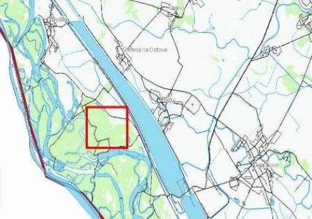
Project area
Description of project area and its threats:
The area of Kráľova lúka river branch system is located in southern Slovakia as the part of Danube inland delta located at the Slovak-Hungarian border. In the past was site known by rich network of river branches and adjacent wetland complexes – small water bodies, marshes and periodically flooded ditches. Thanks to rich mosaic of different habitats aquatic as well as terrestric habitats, it was known as the area with very high biodiversity. Area provided appropriate conditions for the occurrence and reproduction of many animal species as well as for diverse floodplain forest stands. During breeding season was Kráľova lúka river branch system suitable for many insect species, fish spawning as well as subsequent developing of young fish, amphibian reproduction and highly diverse habitats were used by many bird species as feeding and nesting places. Surrounding forests provide appropriate conditions for breeding of black storks and white tailed eagles.
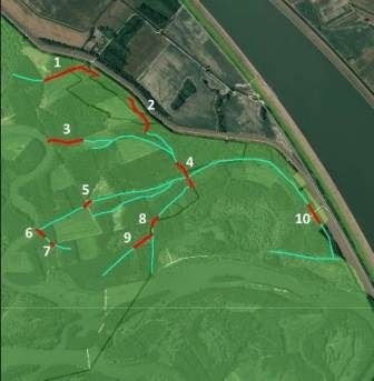
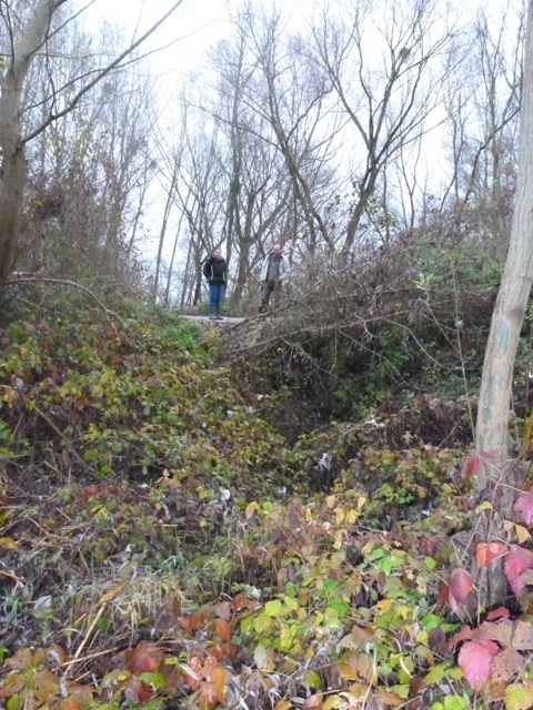
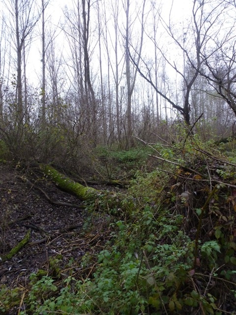
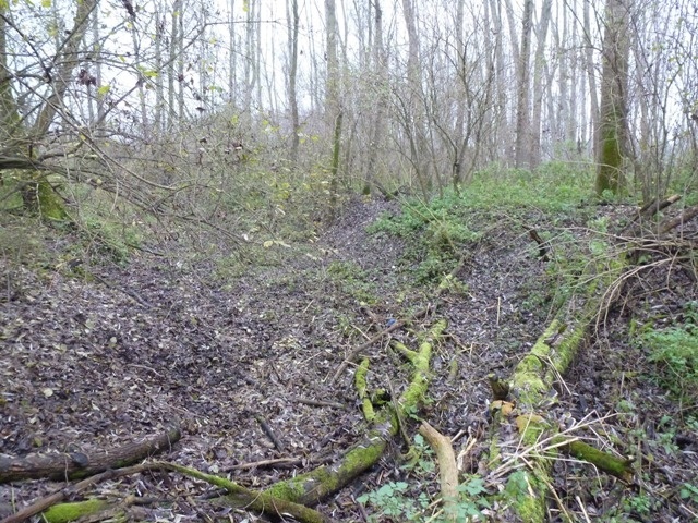
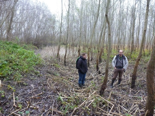
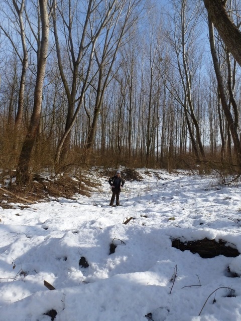
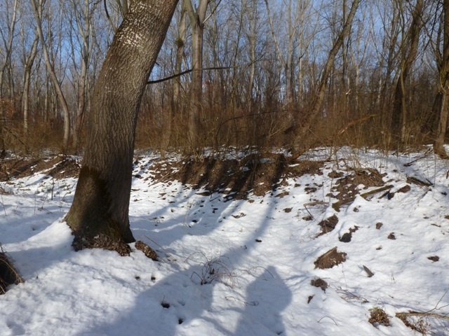
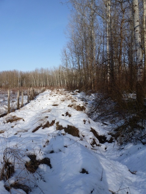
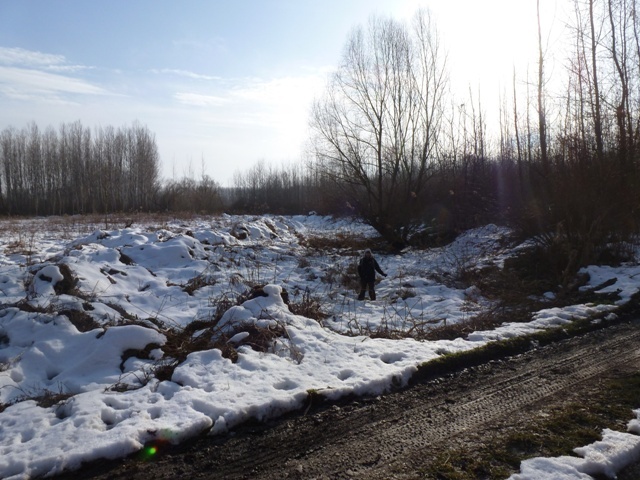
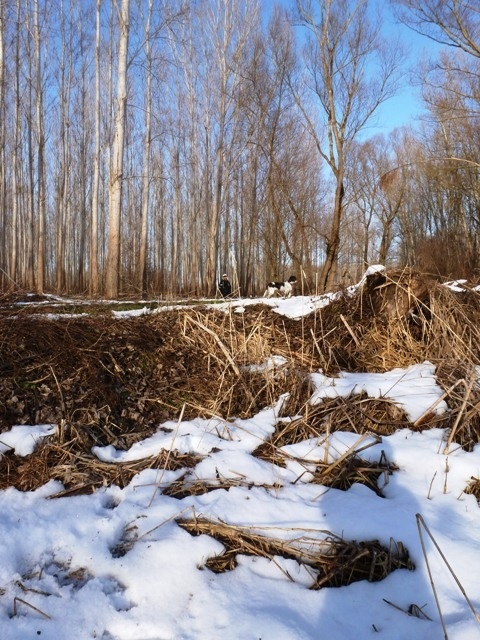
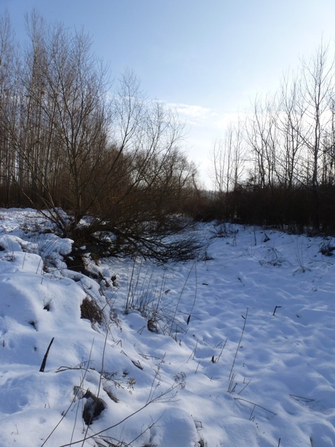
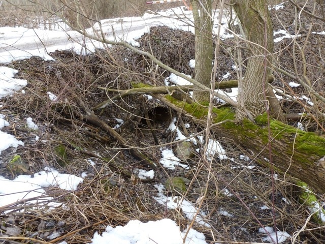
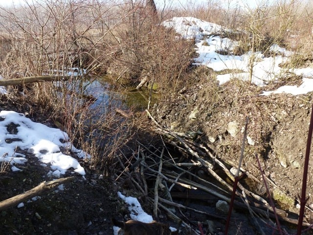
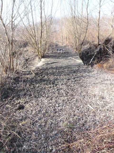
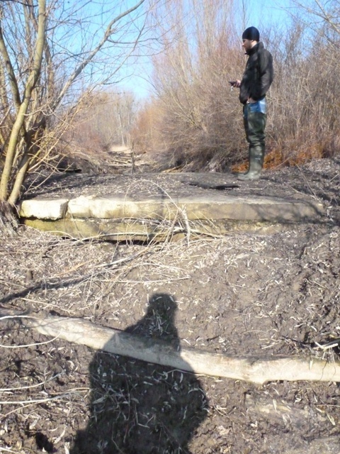
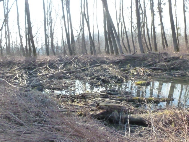
Similarly to other large wetlands along the Danube, also the area of Kráľova lúka was negatively affected by anthropogenic activities. The last and probably the most serious impact was caused by the construction of Gabčíkovo Waterworks. During last decades massive changes have been carried out in water regime – river branches within Kráľova lúka have been cut away from main river arms and the whole area is suffering by lack of water since 1992. The rich network of small river branches, often hidden within forest, has been disconnected at many sites, usually as consequence of forestry and forest road construction.
Formerly the river branch network behaved as a capillary system, periodically supplying the floodplain forest and wetlands with water, especially during spring and summer periods of higher water levels in the Danube. Now the water periods of higher water levels in the Danube are shorter than before, and in combination with the high number of barriers in the small capillary system of the branches it causes that not sufficient water is present in large parts of the area. The number of wetlands and its overall area size was dramatically reduced and changes also negatively affected local natural forest stands. Within a few years the structure of habitats significantly changed, the diversity on several levels is decreasing and generally, the area became more vulnerable for alien elements. This is clearly visible in the spread of alien invasive plants, as well as in the decreasing area of the natural willow-poplar floodplain forest. Serious degradation of the area is predicted for the future if the water regime will not be improved.
The map of project area: